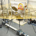
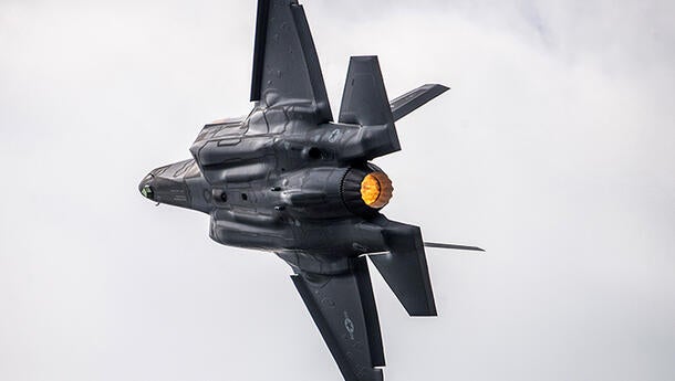
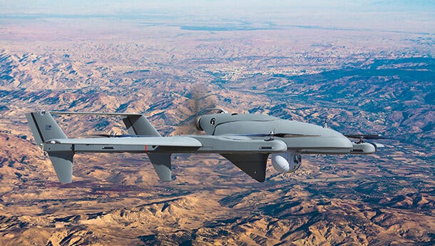
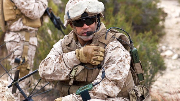
Our airborne telemetry and flight test products gather and process critical information aboard aircraft, missiles, guided weapons, targets and UAVs. These products are used in defense and aerospace programs, weapons development and flight test for government agencies and prime contractors.
Related News
Related Domains & Industries
Solutions that solve our customers' toughest challenges.
view all capabilities
Supplier Quality
Please use the links below to access forms. Fill-out and submit the form to your L3Harris purchasing representative to notify L3Harris Bristol of a process change or part deviation request.
Contact the Airborne Telemetry Team


