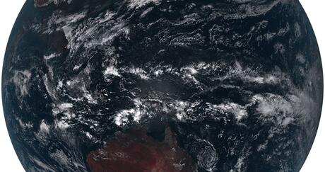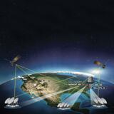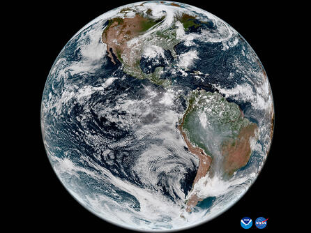
GeoXO will provide real-time imagery for monitoring weather, ocean, and environmental conditions for the Western Hemisphere. This information is critical for keeping communities safe in the face of emerging environmental issues.
“L3Harris’ next-generation geostationary imager for NOAA’s GeoXO architecture includes significant capability enhancements that build on our legacy of industry-leading mission solutions for our nation’s most critical weather monitoring and forecasting needs,” said Rob Mitrevski, vice president and general manager of Spectral Systems at L3Harris. “Our ongoing ability to generate more accurate and detailed real-time, actionable information is key to better protecting the safety and well-being of citizens, communities, and industries from the devastating effects of severe storms.”
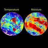
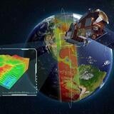
These expanded Earth observations will be captured by L3Harris’ GeoXO Imager, which will measure visible and infrared wavelengths to enhance the accuracy and timeliness of forecasting. The addition of two new spectral bands and enhanced spatial resolution will increase the precision of today’s space-based severe storm monitoring as well as short-term weather predictions and wildfire tracking.
The development of this mission-critical weather sensor technology is for a contract with NASA, in support of NOAA. The GeoXO mission, slated to begin operating in the early 2030s, is designed to improve upon the GOES-R Series of satellites in operation today. The GOES-R Series includes L3Harris’ Advanced Baseline Imager, as well as electric and chemical propulsion systems.