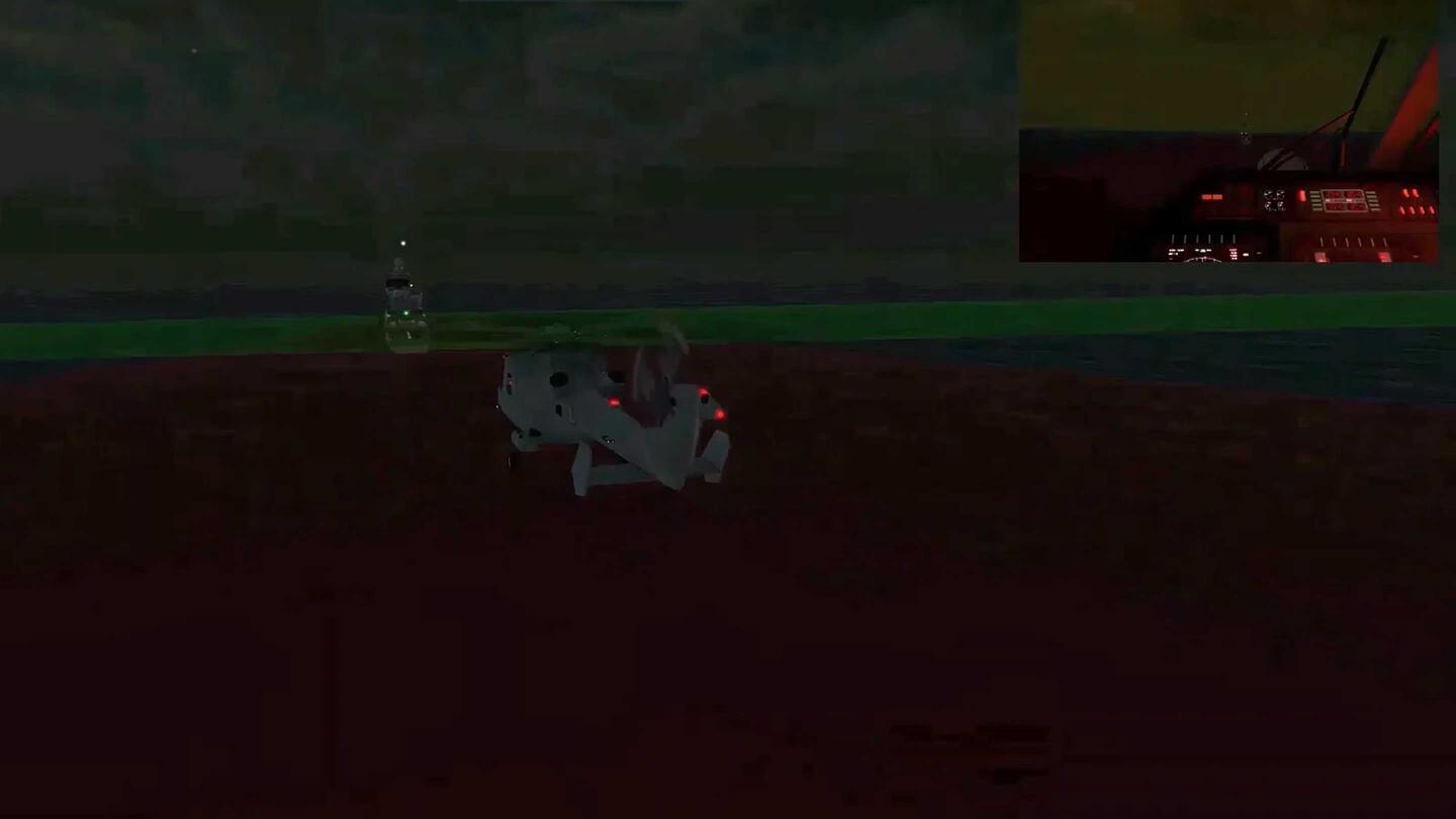

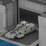
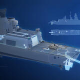
Features
- Approach alignment indication
- 3D helicopter positioning:
- Position on deck
- Altitude over deck
- Horizon reference, integrated in the altitude indication
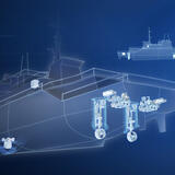
- Scenario data:
- Environment (wind speed and direction)
- Navigation (course, speed and attitude)
- Maneuver data recording
- Safe landing in low-light conditions due to improved perception
- Reduced workload for pilots
- Eliminates or supplements landing signal officer (LSO) on deck
- Substitutes radio data communication
- Landing data available for analysis and training
- Display for deck crew communications
- Low-impact installation
- Helicopter position:
- Range: 100m
- Accuracy: 0.1-to-0.6m (depending on the range)
- Display:
- Size: 3m x 1.8m (length x height)
- Resolution: Standard HD 720p
- Projector dimensions:
- 530mm x 430mm x 380mm

Certifications
ViewFeatured News

Press release | 03. 25. 2026
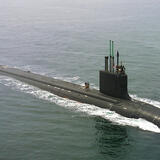
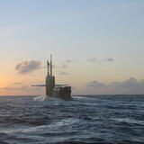
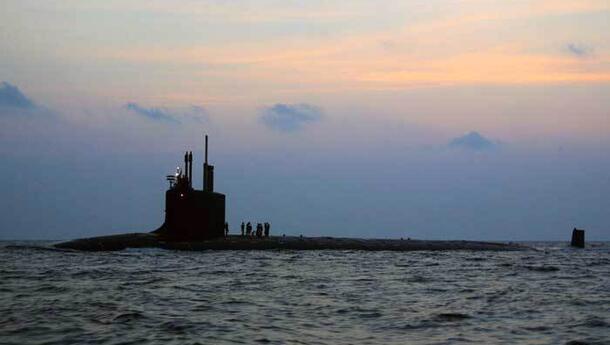
L3Harris to Provide Autonomous Underwater Capability for US Navy Submarines
L3Harris Technologies has received an Other Transaction Authority contract from the Department of War’s Defense Innovation Unit to deliver the Torpedo Tube Launch and Recovery (TTLR) system, which deploys and retrieves the company’s Iver4 900 autonomous underwater vehicles (AUVs) through submarine torpedo tubes.


Related Capabilities


Related Domains & Industries
Solutions that solve our customers' toughest challenges.
view all capabilities
Contact Us