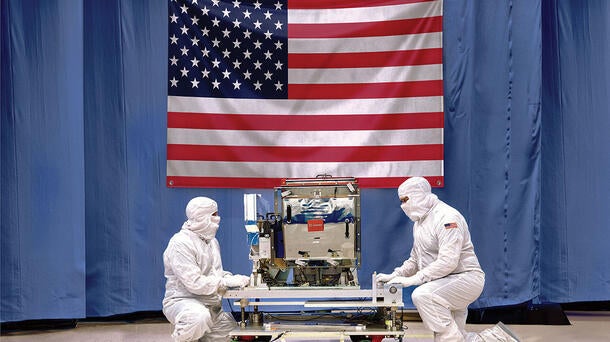
L3Harris recently reached a significant milestone when it shipped its fifth Cross-track Infrared Sounder (CrIS), a critical component of the National Oceanic and Atmospheric Administration’s (NOAA’s) Joint Polar Satellite System (JPSS).
The instrument captures sophisticated data on Earth’s atmosphere, oceans, and landscape that is used in seasonal, short-and long-term monitoring and forecasting. The CrlS is now ready for future integration onto the final spacecraft in the JPSS constellation.
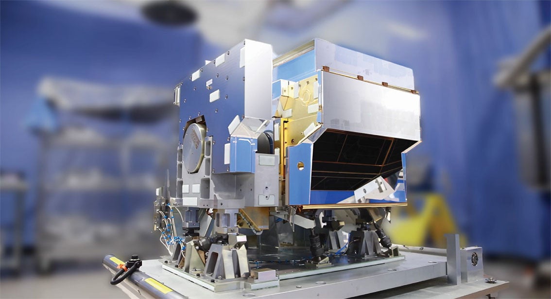
L3Harris’ Cross-track Infrared Sounder (CrIS). Credit: L3Harris Technologies
CrIS is the world’s most advanced hyperspectral sounder and a key sensor that uses advanced infrared technology to measure 3D temperature and moisture from the atmosphere. NOAA uses daily measurements from CrIS to enhance its weather prediction model forecasts, including enhanced rainfall predictions and more targeted tracking ability for severe storms including tornadoes and hurricanes.
"This delivery is the culmination of decades of L3Harris dedication to meteorological precision on the JPSS program”, said Rob Mitrevski, L3Harris Vice President and General Manager of Spectral Solutions. “CrIS has improved NOAA's forecasting models by providing the world’s leading high-resolution, three-dimensional data which elevates the accuracy and promptness of weather predictions. At L3Harris, we continue to leverage our 65-year legacy and deep subject matter expertise while innovating and evolving our sounding technologies to meet critical current and future weather monitoring needs across the world.”
In addition to measuring temperature atmospheric pressure, CrIS can detect the concentration of greenhouse gases and measuring changes in ocean surface temperatures. It is also used to track long range smoke movement, helping to better predict wildfire impacts across the U.S.
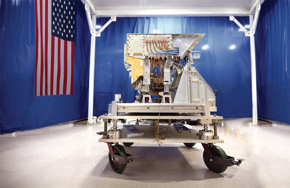
L3Harris’ Cross-track Infrared Sounder (CrIS). Credit: L3Harris Technologies
L3Harris has provided the CrIS instruments on all of NOAA’s JPSS satellites, the first of which launched in November 2017. Both JPSS-3 and JPSS-4 are scheduled to launch in the coming years to extend global coverage by these critical low earth orbit (LEO) assets through 2040.
The L3Harris-built CrIS, which was built at the company’s Ft. Wayne, Ind. facility, is part of a suite of next-generation weather solutions that include the company’s proven Advanced Baseline Imager (ABI) and Geostationary Operational Environmental Satellite-R (GOES-R) ground heritage, both designed to improve short- and long-range forecast accuracy and severe storm tracking. These solutions include a GeoXO imager and modernized GOES-R ground system for the U.S. as well as imaging and sounding technology for Japan – all awarded as part of the more than $1 billion in weather-related contracts L3Harris received last year.
